GVI SOLUTIONS

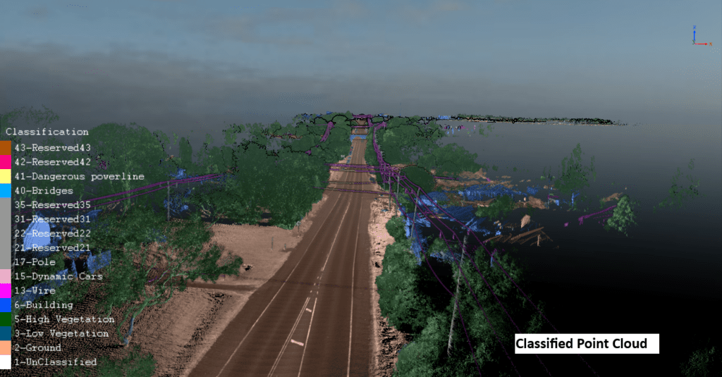
lidar powreline survey classified point cloud

How did mobile LiDAR scanning speed up and improve the powerline 3D model creation and encrochment assessment?

What is mobile LiDAR Scanning system? A mobile lidar scanning system is a technique that captures highly comprehensive and precise 3D data of the surroundings

How did mobile LiDAR scanning speed up and improve the powerline 3D model creation and encrochment assessment? Read More »

en_CAEnglish (Canada)
We've detected you might be speaking a different language. Do you want to change to:
en_US English
en_AU English (Australia)
en_NZ English (New Zealand)
en_US English
en_GB English (UK)
en_CA English (Canada)
Close and do not switch language
×
Let's chat on WhatsApp

How can I help you? :)

10:45