Feima Robotics D2000S - One-stop High-precision Drone Workhorse
Introduction & Specification of D200S Drone
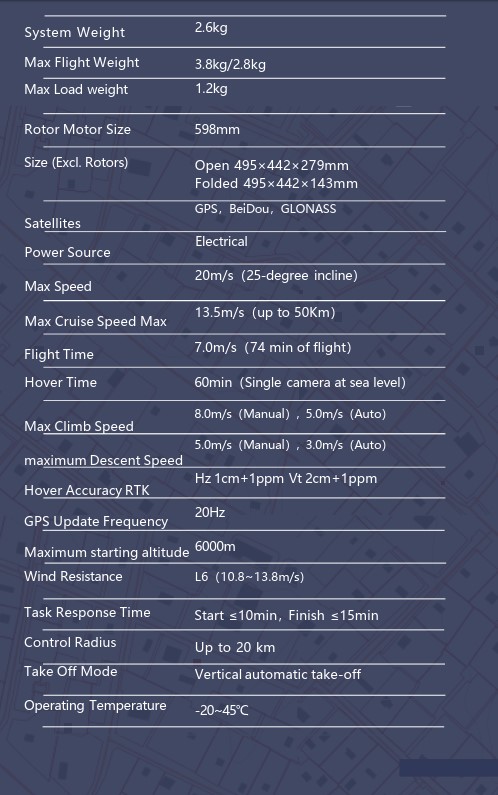
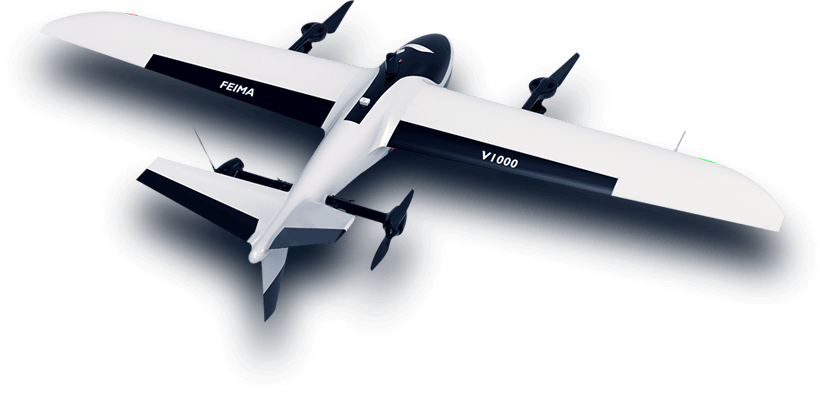
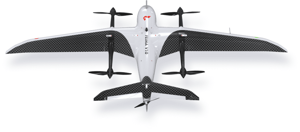
The D2000S drone system is a small, long-lasting but At the same time, a multi-rotor drone system that can meet high- precision mapping, remote sensing and video applications, can be equipped with aviation. It has multi-source data acquisition capabilities, including measurement modules, tilt modules, visible light video modules, thermal infrared video modules, thermal infrared remote sensing modules, and lidar modules.
The standard starting weight of the system is 2.8kg, the standard load is 200g, and the battery life is 74 minutes. After the whole system is modularized and decomposed, it can be integrated into a work box, which is easy to carry and transport. The mission payload of D2000S adopts a modular design and is equipped with aerial survey module, tilt module, and thermal infrared remote sensing module, which can meet the application of aerial survey, true 3D model, and remote sensing monitoring. Video application loads such as modules, equipped with long-distance high- definition image transmission, can realize target recognition, target positioning, target real-time tracking, target position, speed estimation and other functions.
The D2000S is equipped with high-precision differential GNSS boards and dual differential antennas, and comes standard with network RTK, PPK and their fusion solution services; Free image control application. Equipped with “Unmanned Aircraft Manager Professional Edition (Measuring Edition)” software, it has route modes for various application requirements. Supports accurate 3D route planning, 3D real-time monitoring, GPS fusion solution, control point measurement, Aerial 3D solution, one-key mapping, one-key exporting stereograms, providing DOM, DEM, DSM, TDOM, etc. Data processing and browsing.

Key Features of D200S Drone
Long flight time, high efficiency, high reliability
The hovering time at sea level for a single flight is 60 minutes. The modules such as IMU, barometer, magnetometer, and GNSS adopt multi-channel redundant design; equipped with ultrasonic, optical flow modules, and dual differential antennas to provide multiple guarantees; through a number of components, Machine reliability test to ensure product safety and reliability.
Dual differential antenna
The D2000S is equipped with dual differential antennas as standard, with strong anti-interference ability, and has the ability to operate in complex environments such as mining areas, bridges, and ship-borne take-off and landing platforms.
Modular task load design, multi-source data acquisition scheme
D2000S can be equipped with single-camera aerial survey module, five-camera tilt module, thermal infrared remote sensing module, visible light video module, thermal infrared video module and software solutions.
Precise terrain following function
Combined with the UAV Manager Professional Edition software, D2000S can achieve accurate terrain following, improve image acquisition resolution and ensure the consistency of image resolution.
Automatic obstacle avoidance function
The D2000S is equipped with a front-mounted milliwave radar obstacle avoidance module, which can automatically detect obstacles ahead and improve the safety level.
One-stop software solution, advanced full-result imaging workstation
Equipped with UAV Manager Professional Edition (Measurement Edition) software, it supports the whole process of operation from accurate 3D route planning, 3D real-time monitoring, control point measurement to air 3 processing, providing DOM, DEM, DSM, TDOM, etc. A variety of data results and browsing.
Other Drones


