LiDAR Solutions & LiDAR Services
Wind Measurements
![Molas B300 wind measurement lidar](https://www.lidarsolutions.com.au/wp-content/uploads/2021/08/Molas-B300-600X600.png)
Wind LiDARs
Wind LiDARs for wind farm development projects, power curve validation, and wind turbine performance improvement.
Autonomous Robots & AGV
![3D SLAM NAVIGATION SYSTEM](https://www.lidarsolutions.com.au/wp-content/uploads/2020/11/LS-SLAM-NAVIGATION.png)
Autonomous Robots
Autonomous Robots control system with cutting edge 3D-SLAM technology.
![Sensors on Automatic forklift](https://www.lidarsolutions.com.au/wp-content/uploads/2020/10/3D-SLAM-forklift-1.png)
Autonomous Forklift
Autonomous Forklift control system with cutting edge 3D-SLAM technology.
3D Mapping & Survey
![LIDAR360 3D SCANNING SYSTEM, LIDAR POINT CLOUS POST PROCESSING SOFTWARE - FORESTRY APPLICATION](https://www.lidarsolutions.com.au/wp-content/uploads/2022/01/LIDAR-360-Forestry.png)
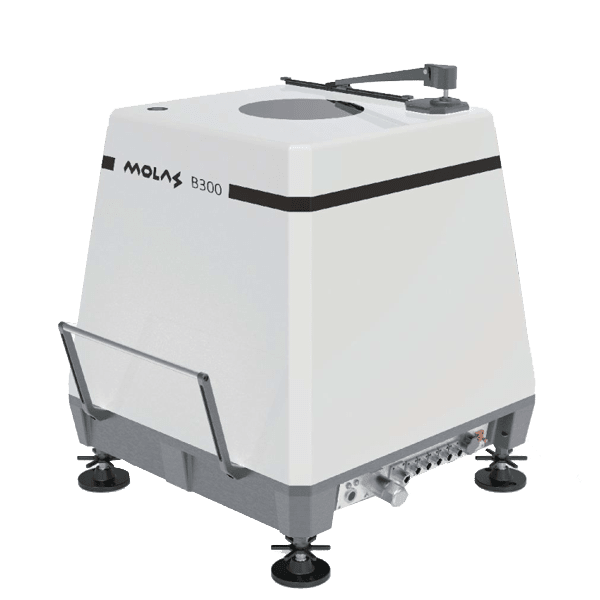
LiDAR Solutions For Forestry Survey
End to End aerial & terrestrial LiDAR scanning system and software solution for Forestry Survey
![](https://www.lidarsolutions.com.au/wp-content/uploads/2022/01/Mine-Tunnel.jpg)
LiDAR Solutions For Mining Survey
End to End aerial & terrestrial LiDAR scanning system and software solution for mining survey
![](https://www.lidarsolutions.com.au/wp-content/uploads/2022/01/BUILDING-3D-MODELING.jpg)
LiDAR Solutions For BIM
End to End aerial & terrestrial LiDAR scanning system and software solution for BIM, Construction, Architecture.