LiDAR Drone Payloads and System for Survey – Camera Included
LiDAR (Light Detection and Ranging) drones have a wide range of applications across various industries due to their ability to accurately capture 3D data and provide detailed information about the surrounding environment. Some of the common applications for LiDAR drones include Surveying and Mapping, Forestry Management, Environmental Monitoring, Mining and Quarrying, Construction and Civil Engineering, Infrastructure Inspection, Flood Modelling and Management, Archaeology and Cultural Heritage, and Wildlife Conservation, etc.
The versatility and precision of LiDAR technology makes it a valuable tool in a wide range of industries, enabling more efficient data collection, analysis and decision-making.
New Release
-
UAV LiDAR Payloads
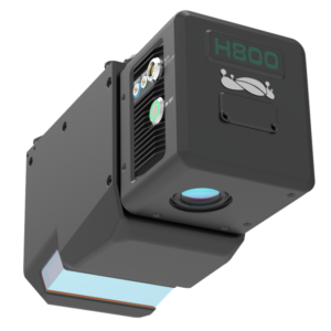
LiAir H800 Drone LiDAR Scanner – Long Range
US$65,000.00 Excl. GST/VAT Add to cartRated 0 out of 5

Long Range
Up to 1000m scanning range

High Frequency
Up to 1000 kHz scanning frequency
High Accuracy
5mm point cloud thickness

High Penetration
Smaller light spots - 5cm circle @ 100m; 7 returns

Light Weight
Only 2.2kg, compatible with DJI M300 & M350

Intelligent
Self-adpative point cloud density
Entry-Level LiDAR drone payloads
The entry level LiDAR payloads are suitable for applications that don’t require high accuracy, such as powerline inspection, forestry survey or volumetric measurement etc. They may be equipped with same LiDAR sensors with medium range LiDAR, however, they have INS with less accurate. Due to this reason, they are quite cost-effective and do their do in specific industries.
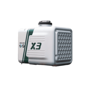
LiAir X3 - Autonomous Flight Control
LiDAR Sensor:
Range accuracy: ±2cm
Detection range:
190 m @ 10% reflectance
450 m @ 80% reflectance
Autonomous Functions:
Autonomous terrain following, based on real-time point cloud captured by the LiDAR but not the downloaded DSM;
Autonmous powerline following;
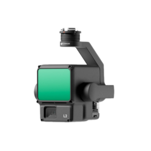
DJI Zenmuse L2
LiDAR Sensor:
Range accuracy: 2cm @ 150m
Returns: max 5 returns
System Accuracy:
Horizontal: 5cm
Vertical: 4cm
Medium-Range LiDAR Drone Payloads
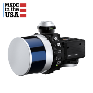
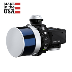
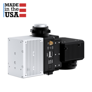
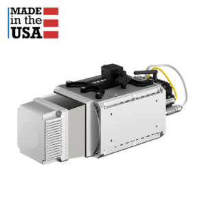
With high performance INS, surveyors' choice, made in USA by Inertial Labs
Medium range drone LiDARs may be slightly more expensive than entry level, however, they are equipped with high performance INS which can deliver point cloud with higher accuracy.
INS (Inertial Navigation System) is critical for a drone LiDAR scanner system, because it provides the necessary positional accuracy, data registration and reliability, especially in challenging environments. It ensures that the LiDAR data collected is accurate, coherent and geo-referenced, making it a critical component for various applications such as surveying, mapping and infrastructure inspection.
- System Vertical Accuracy: 2 – 3 cm
- Precision: 2 – 4 cm
- Precision: (1σ Noise Removal) 1.5 – 2.5 cm
- Recommended AGL: Up to 150m
- Weight: 1.4 kg (with camera), 1.0 kg (without camera)
- Max Flight Time (DJI M300): 33 minutes
- External Storage: 256 GB USB Included
- System Vertical Accuracy: 2 – 3 cm
- Precision: 2 – 4 cm
- Precision: (1σ Noise Removal) 1.5 – 2.5 cm
- Recommended AGL: Up to 100 m
- Weight: 1.7 kg (with camera), 1.3 kg (without camera)
- Max Flight Time (DJI M300): 33 minutes
- External Storage: 256 GB USB Included
- System Vertical Accuracy: 3 – 5 cm
- Precision: 4 – 5 cm
- Precision: (1σ Noise Removal) 2 – 3 cm
- Recommended AGL: Up to 85 m
- Weight: 1.2 kg (with camera),0.9 kg (without camera)
- Max Flight Time (DJI M300): 33 minutes
- External Storage: 256 GB USB Included
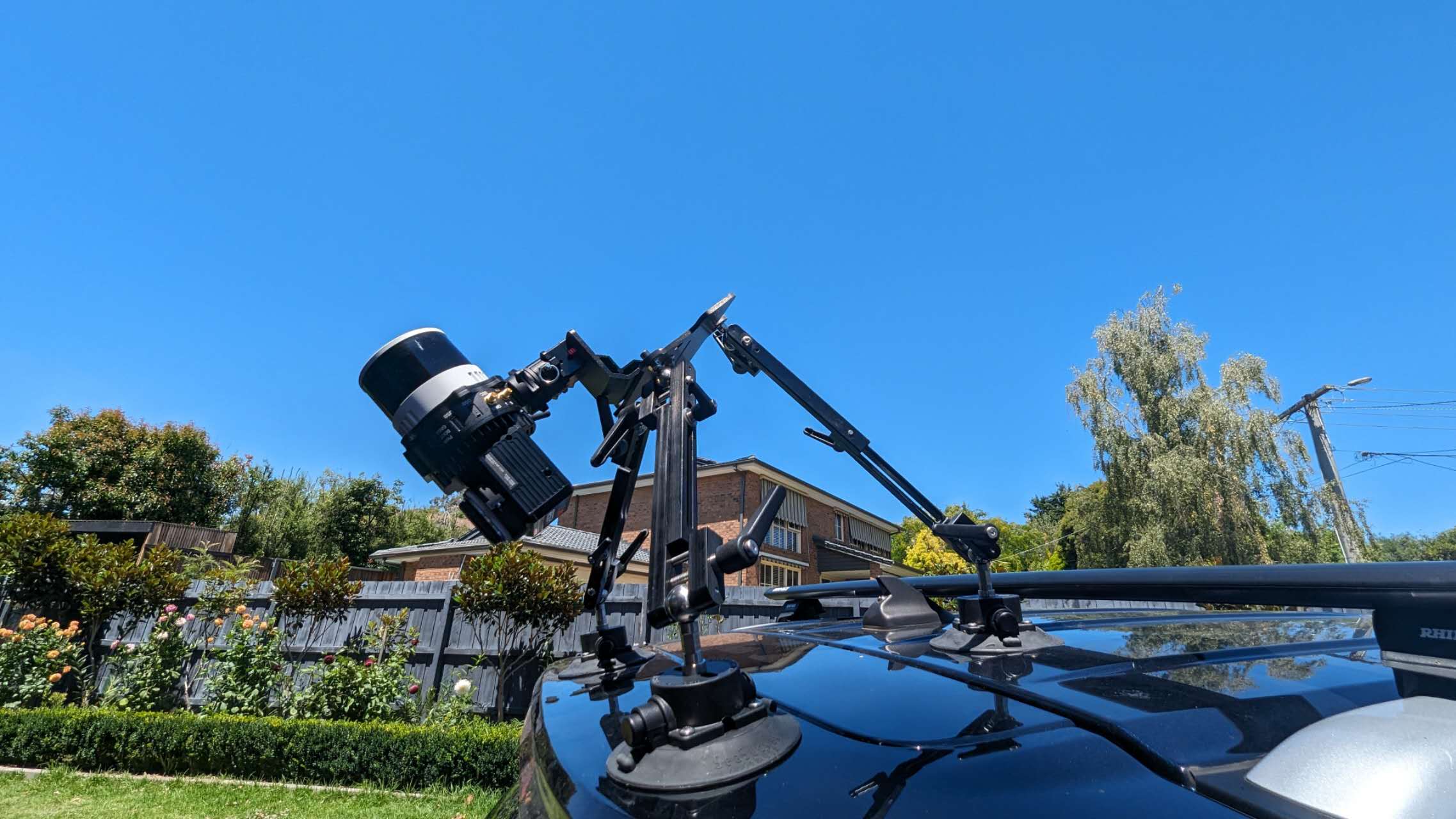
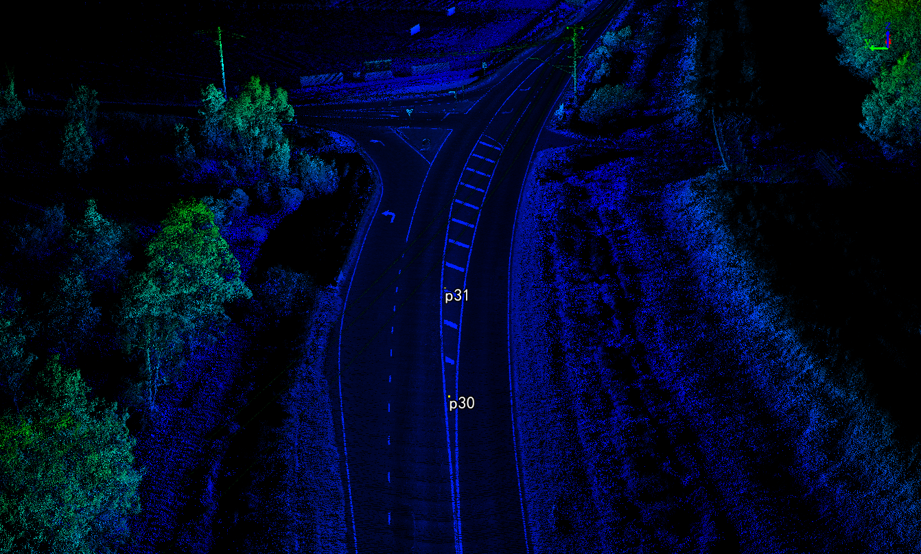
Mobile Scanning Dataset
Location: Yarra Glen, Victoria 3775, Australia
Premium LiDAR drone payloads
Premium LiDAR sensors with premium INS
Our higher-end drone LiDARs are equipped with Riegl or Teledyne CL-360HD LiDAR sensors and high-performance INS system. They can be installed for both drone and vehicle scanning. Contact us today.
- System Vertical Accuracy: 1 – 2 cm
- Precision: 1 – 2 cm
- Precision: (1σ Noise Removal) 1 – 2 cm
- Recommended AGL: Up to 200 m
- Weight: 4.3 kg (without camera)
- Dimensions: 36.9 x 16 x 15.5 (cm)
- Max Flight Time (DJI M600): 23 minutes (TB48S batteries)
- External Storage: 256GB USB Included
- Laser Sensor: Riegl MiniVUX-3 UAV
- IMU: APX15
- Range Accuracy: ± 1.5cm
- Detection Range: 330 m @ 80% reflectance
- System Accuracy: ± 3 cm @ AGL 80m
- Target echoes per laser shot: 5
- Weight: 1.9 kg (Excl. Camera) 2.1 kg (Incl. Camera)
Drone Platform and Post-processing Software
Enjoy 5% off if you purchase drone + LiDAR + post-processing software from us
We offer drone, LiDAR payload and point processing software as a combo as well. Please contact us for more information and we will find the most-suited drone LiDAR scanner surveying solutions for your projects.
Drone Platform
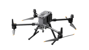
Upgrades from DJI M300 with following features:
- Maximum flight time: 55 mins
- IP Rating: IP55
- Longer transmission distance
- New safety features with arm lock status detection
LiDAR Point Cloud Processing Software
LiDAR point cloud processing software plays a crucial role in turning raw LiDAR data into actionable information for a wide range of applications, including environmental monitoring, land surveying, urban planning, forestry and infrastructure development.
-
LiDAR Point Cloud Processing Software
Trion Model Software By FJD
US$816.00 – US$1,271.00 Excl. GST/VAT View productsRated 0 out of 5 -
LiDAR Point Cloud Processing Software
PCMaster Pro
US$2,500.00 – US$3,500.00 Excl. GST/VAT View productsRated 0 out of 5 -
LiDAR Point Cloud Processing Software
LiDAR360 MLS HD LiDAR Mapping Software – 1 Year Subscription
US$3,600.00 Excl. GST/VAT Add to cartRated 0 out of 5 -
LiDAR Point Cloud Processing Software
LiPowerline – Powerline Point Cloud Data Analyzing Software – 1 Year Subscription
US$3,600.00 Excl. GST/VAT Add to cartRated 0 out of 5 -
LiDAR Point Cloud Processing Software
LiDAR360 Point Cloud Data Management, Processing & Analyzing Software – 1 Year Subscription
US$3,600.00 Excl. GST/VAT Add to cartRated 0 out of 5
FAQ about LiDAR Drone
An unmanned aerial vehicle (UAV) with a LiDAR (light detection and ranging) sensor is called a LiDAR drone. This configuration enables aerial 3D mapping and surveying with great accuracy.
Light Detection and Ranging, or LiDAR, is a technology that measures distances to the Earth’s surface using laser pulses from an aerial platform, usually a drone.
Several essential parts of a LiDAR drone system combine to provide high-precision airborne mapping and surveying. These elements consist of:
LiDAR Sensor:
- The LiDAR sensor, which is the main part of the system, shoots laser pulses in the direction of the ground and timed how long it takes for them to return. Distance calculations and the creation of three-dimensional maps of the surveyed region are done using this data.
Drone (Unmanned Aerial Vehicle):
- The platform on which the LiDAR sensor is mounted. LiDAR systems employ a variety of drone sizes and designs, frequently selected in accordance with operational specifications such as flight duration, payload capacity, and stability.
GPS Receiver:
- essential for giving exact drone location information. With the help of the LiDAR data, precise GPS receivers are able to georeference the gathered spatial data.
Inertial Measurement Unit (IMU):
- The drone’s roll, pitch, and yaw angles are measured by an IMU, which provides the required orientation data. Particularly in cases of uneven terrain, this information aids in precisely mapping the LiDAR data to real-world coordinates.
Data Storage:
- Onboard storage to store the enormous volume of information produced by the LiDAR sensor. After processing, this data is used to produce the finished 3D model or map.
Control Systems:
- contains the software and hardware required to operate the drone. This could include automated flight planning software, remote controls, and real-time drone status monitoring systems.
Power Supply/Battery:
- The batteries used to power drones are usually rechargeable ones. The amount of space that can be scanned in a single flight is determined by the drone’s flying time and the capacity of these batteries.
Data Processing Software:
Accurate 3D models or maps are produced by processing the raw LiDAR data, GPS, and IMU data using specialist software after the flight. This software is necessary to convert the unprocessed data into information that may be used.
Every one of these elements is essential to the operation and effectiveness of a LiDAR drone system, which makes it an effective instrument for a range of uses such as environmental research, forestry, urban planning, and topographic mapping.
The quality of the LiDAR sensor, the drone’s capabilities, and extra features or software that are part of the system can all have a big impact on how much a LiDAR drone costs.
As of my last update in April 2023, here are some general price ranges:
Entry-Level LiDAR Drones:
- These systems can cost anywhere from AU$40,000 to $60,000, and they may include less sophisticated drones and simpler LiDAR sensors. Usually, they are used for more straightforward tasks like farming or small-scale mapping.
Mid-Range Systems:
- More complex drones, more precision, and longer range are available with more advanced systems, which can cost anywhere from AU$60,000 to $200,000. Environmental research, infrastructure inspections, and more difficult professional surveys are common uses for these systems.
High-End Professional Systems:
- Modern LiDAR sensors, high-performance drones, and sophisticated software capabilities are all included in the price of top-tier LiDAR drones, which can range from AU$200,000 to $400,000 or more. The most difficult applications, such as accurate scientific research, intricate infrastructure projects, and comprehensive topographic surveys, call for the deployment of these systems.
For the most accurate and up-to-date pricing, it’s recommended to contact us directly or to obtain quotes based on your specific requirements.


