LiGrip H120 Handheld LiDAR Scanner + LiFuser Pre-processing Software – Global Shipping
Request for Quote
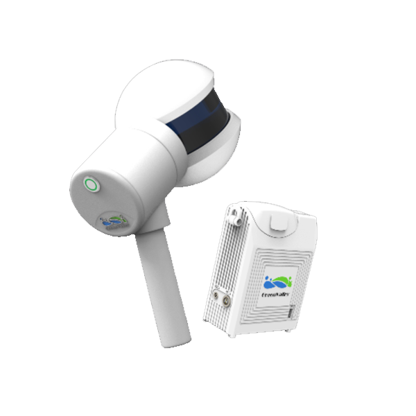
LiGrip is a new series of products launched by GreenValley International. The product adopts a simplistic lightweight design compact body for convenient and versatile operating options. Boasting an integrated Hesai H20 LiDAR sensor and HD camera, LiGrip is a fit for many industry-specific projects. Multi-platform support, combining LiDAR and cutting-edge SLAM algorithms to achieve highly accurate HD mapping in even the most challenging environments.
Delivery Terms:
DAP, Global shipping
Parts included in the package:
1 unit LiGrip handheld LiDAR Scanner;
LiFuser Pre-processing software (Permanent License);
Warranty:
OEM Warranty, 1 year;
Lead Time:
2 weeks plus transport.
LiGrip - Handheld LiDAR Scanner Supporting Multi-Platform
Boasting an integrated Hesai H20 LiDAR sensor and HD camera, LiGrip is a 3D LiDAR mapping system for many industry-specific projects. Multi-platform support, combining LiDAR and cutting-edge SLAM algorithms to achieve highly accurate 3D mapping in even the most challenging environments.
Handheld

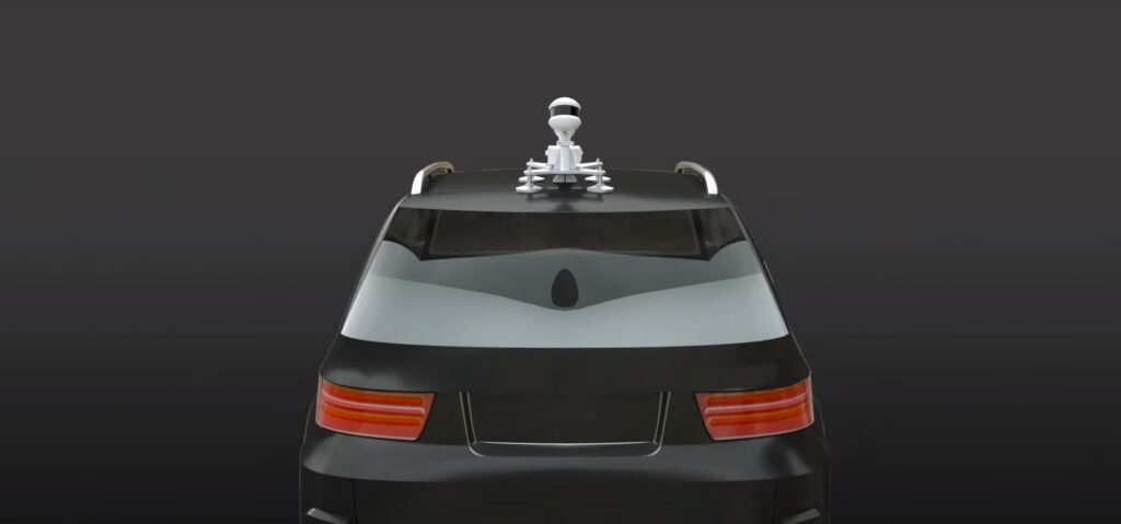
Vehicle-Mounted
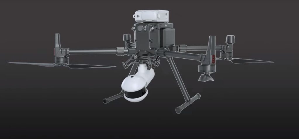
Airborne
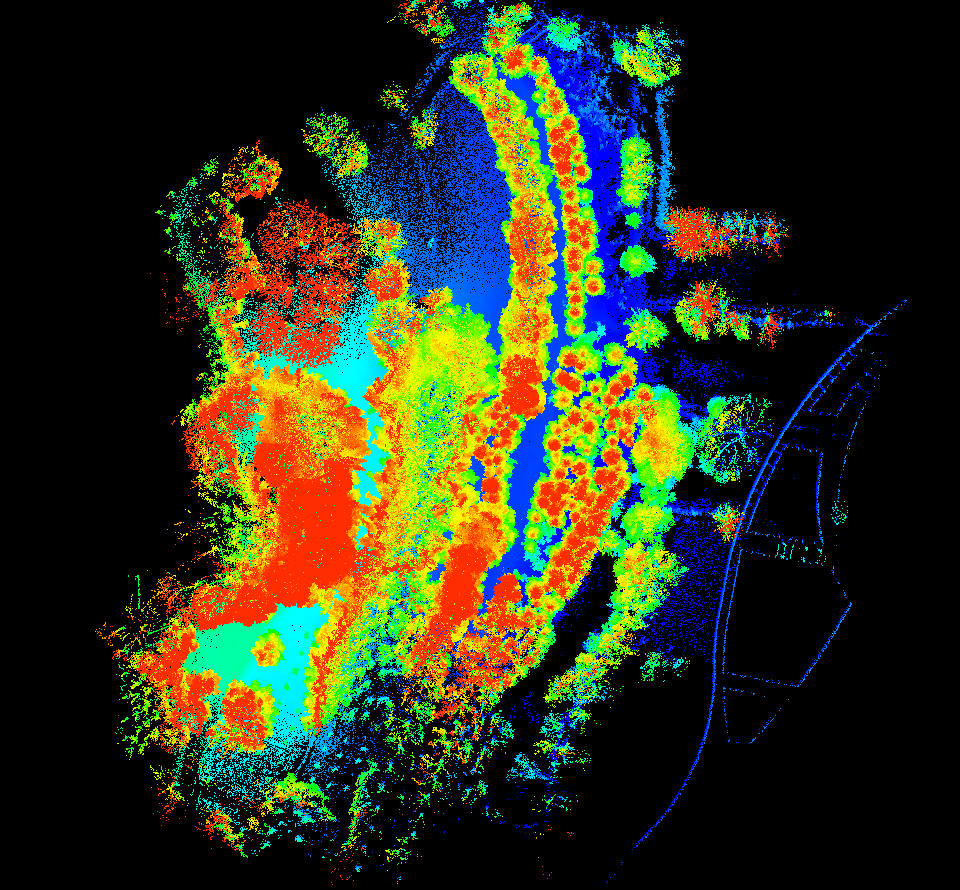
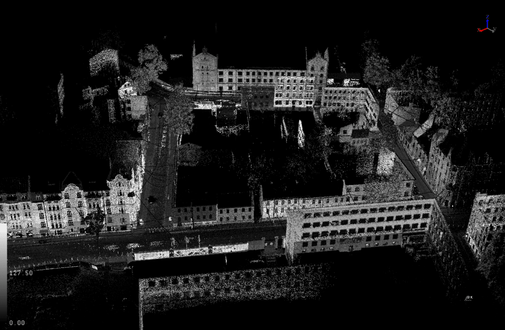
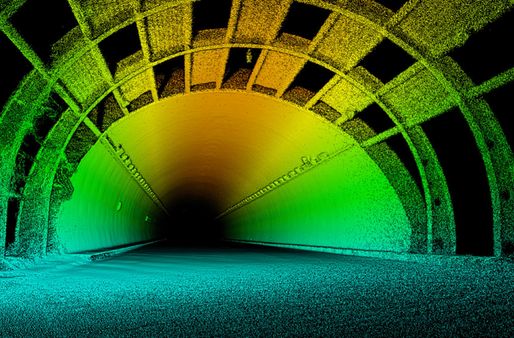
Powered by an industry leading SLAM algorithm, whether you’re in narrow passageways, tunnels, rugged terrain, or other challenging GNSS restricted areas such as underground garages, high-precision point cloud results in all environments can be obtained with no worries.
Demo Video
Advantages of LiGrip Handheld LiDAR Scanner
Weather-Resistant Design
LiGrip Handheld LiDAR 3D mapping system is with an IP65 protection rating, the LiGrip is rugged and resistant to rain and dust
Lightweight
Minimalistic design with an Aluminum shell provides a light yet sturdy & portable LiDAR scanner system
Multi-Platform Compatibility
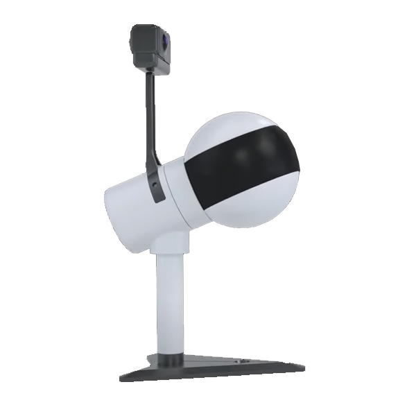
With add-on options allowing for adaptations as a UAV, Vehicle, or Backpack mount, the LiGrip is GreenValley's most versatile LiDAR system to date
Cutting-edge SLAM Algorithm
Utilizing GreenValley's very own Industry-leading SLAM (Simultaneous Localization And Mapping) algorithm, LiGrip provides real-time on-the-go accurate positioning as you map your environments
Modular Design
Modular design is adopted to support the installation of a variety of different types of sensors, and customers can Freely choose the module configuration according to your needs, including high-performance lasers, panoramic cameras and other multi-performance sensors, through the self-developed control system
One Stop Solution
Support GVI one-stop software solution, data can be seamlessly transferred to various pre-processing and post-processing software, and the solution is more convenient to implement
System Parameters of LiGrip Handheld LiDAR Scanner
LiDAR Parameters
LiDAR Sensor: Hesai H20
Accuracy: ±3cm
FOV°: 280°×360°
Scan Rate: 300,000 pts/s
Scan Range: 100m
Resulting Data
Relative Accuracy: ≤3cm
Absolute Accuracy: 5cm
Point Cloud Formats: Las, Ply, LiData
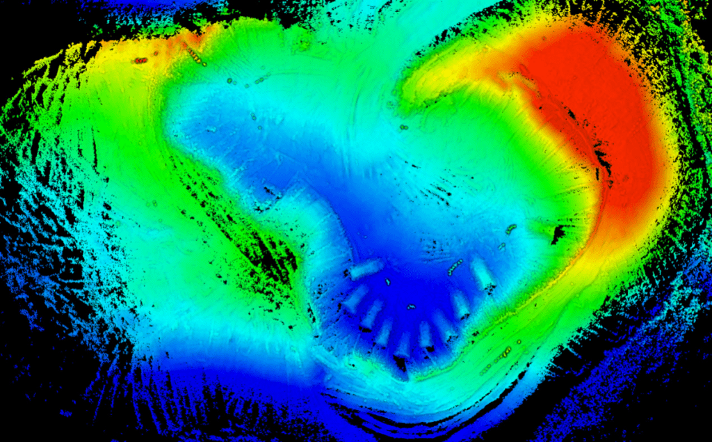
Applications
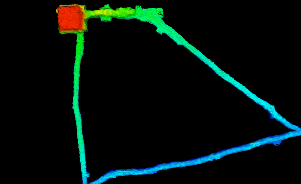
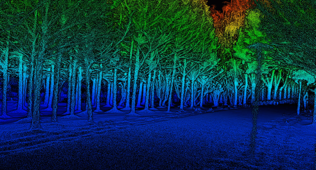
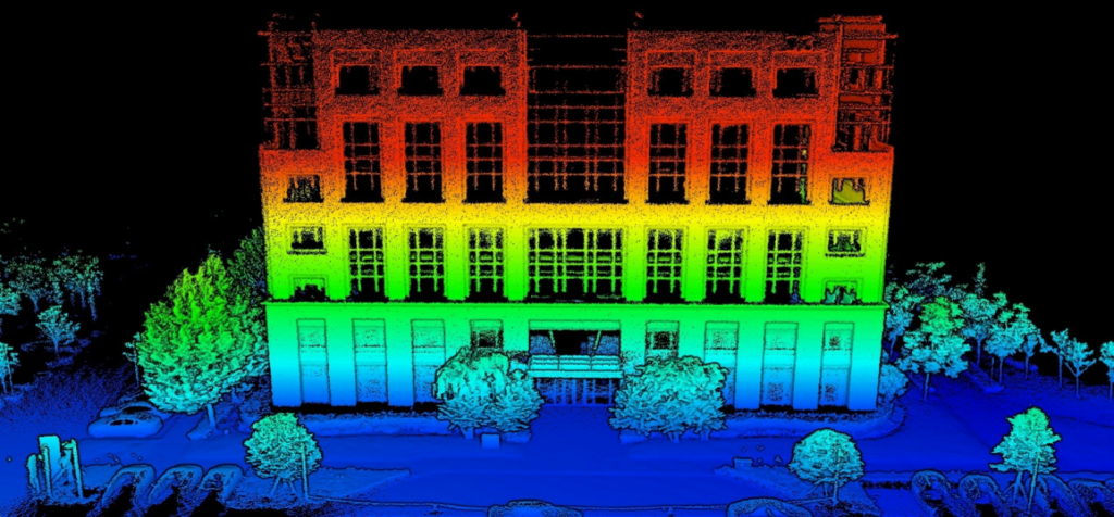
Downloads for LiGrip Handheld LiDAR Scanner
Brochure
Sample Data - Download from Google Drive
Related products
-
Handheld LiDAR Scanner
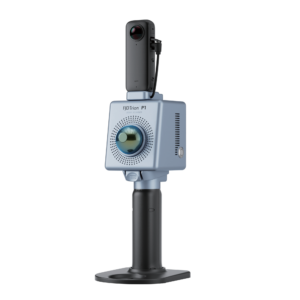
Trion P1 Handheld LiDAR Scanner
US$8,600.00 Excl. GST/VAT Add to cartRated 0 out of 5 -
GNSS Receiver
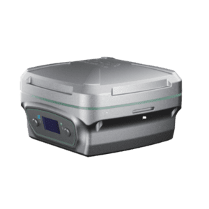
LiBase – GNSS RTK GPS Receiver for Both Rover & Base Station
US$2,916.00 Excl. GST/VAT Add to cartRated 0 out of 5 -
Handheld LiDAR Scanner
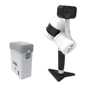
LiGrip H300 Handheld LiDAR Scanner + LiFuser Pre-processing Software
Request for Quote Read MoreRated 0 out of 5


