LiAir 250Pro Drone & Mobile LiDAR Scanner – Riegl MiniVUX-3 Sensor
Request For Quote
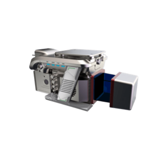
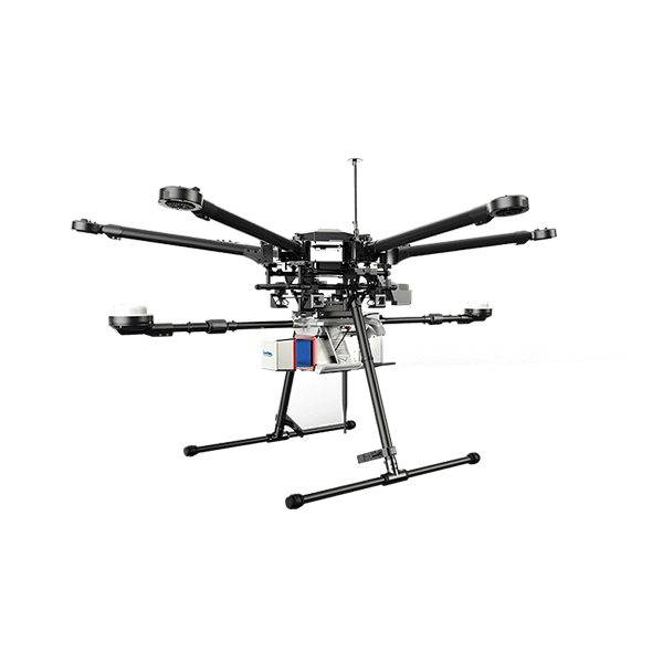
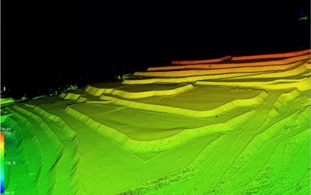
LiAir 250 Pro is GreenValley International’s flagship aerial land surveying LiDAR system designed to meet survey-grade project requirements. It is a power 3D mapping system equipped with a highly precise navigation system, and can generate point cloud data with an absolute vertical accuracy of 3 cm. Together with its capability of a 250 m range measurement and recording up to 5 returns per pulse, LiAir 250 is an ideal choice for applications like topographical survey beneath the forest canopy, extracting forest structure parameters from individual tree level to forest stand level, inspecting power line corridor, managing and inspecting asset, and so on. Moreover, LiAIr 250 also provides an option to be equipped with a high-definition digital camera, which can be used to generate photogrammetry products as well as true color 3D point clouds.
General Specification of LiAir 250 Pro LiDAR for Drone
Laser Sensor: Riegl MiniVUX-3 UAV
IMU: APX15
Range Accuracy: ± 1.5cm
Detection Range: 330 m @ 80% reflectance
System Accuracy: ± 3 cm @ AGL 80m
Target echoes per laser shot: 5
Weight: 1.9 kg (Excl. Camera) 2.1 kg (Incl. Camera)
Downloads for LiAir 250 Pro LiDAR for Drone
Brochure
User Manual
Sample Data
LiAir 250 Pro Point Cloud Raw Data – Aerial Scanning
Required Software for LiAir 250 Pro Drone LiDAR Scanner
Pre-processing Software
Date management, Post-processing and Analyzing Software
Request for Quote
Related products
- UAV LiDAR Payloads
LiAir H800 Drone LiDAR Scanner – Long Range
Rated 0 out of 5US$65,000.00 Excl. GST/VAT Add to cart - Entry Level drone LiDAR
LiAir X3 + LiGeo Software and Camera – Global Shipping
Rated 0 out of 5Request For Quote - drone lidar with premium INS
RESEPI-HESAI XT32M2X – From Inertial Labs, Manufactured In USA
Rated 0 out of 5Request For Quote


