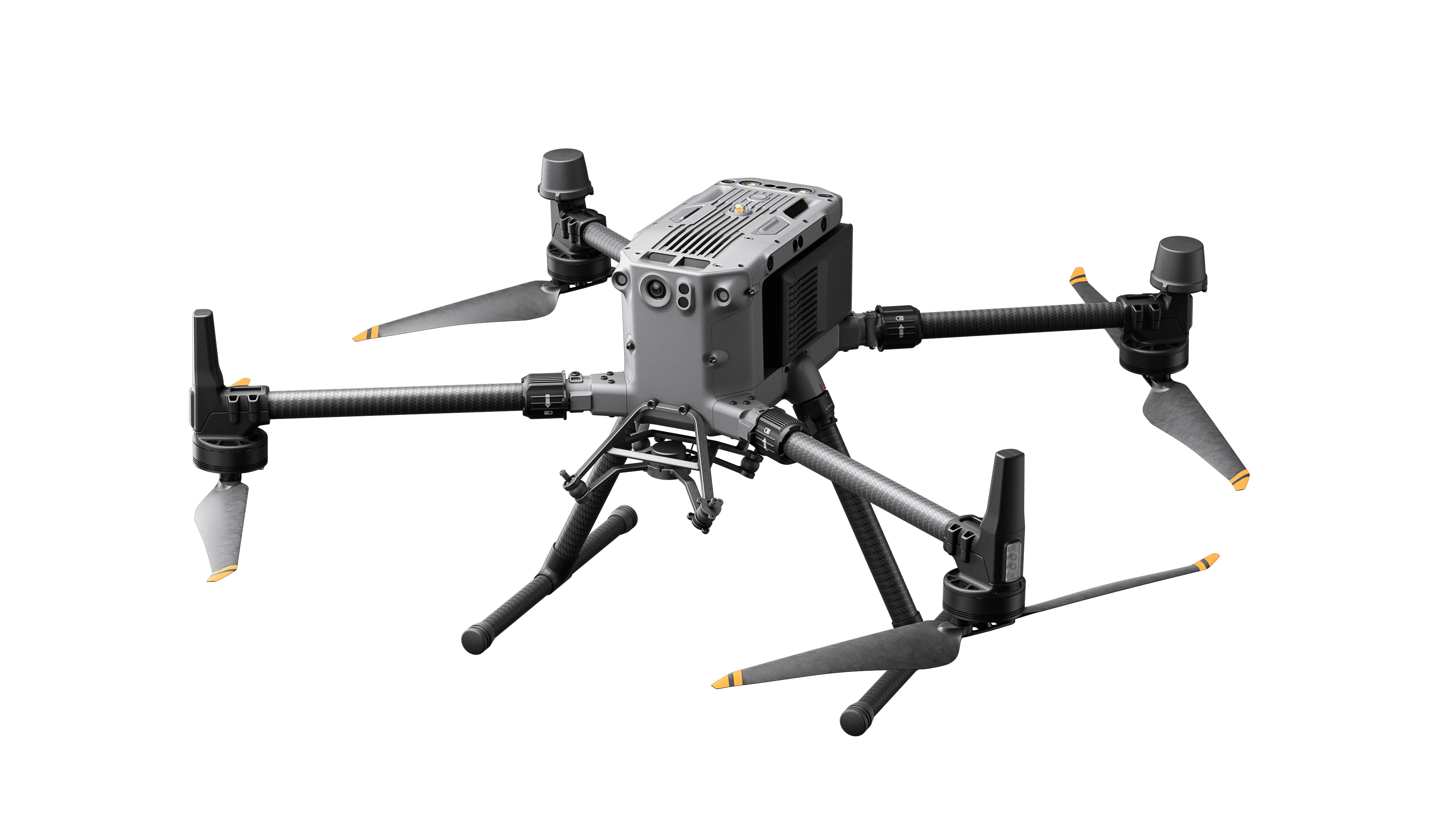
DJI M350 RTK Drone / UAV
Request For Quote
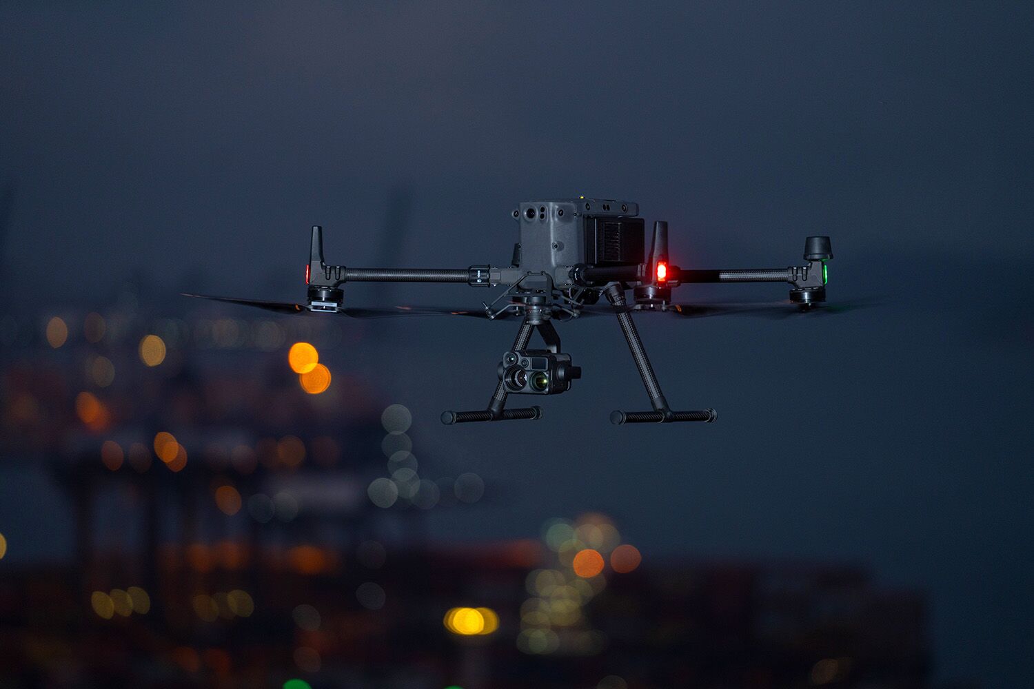
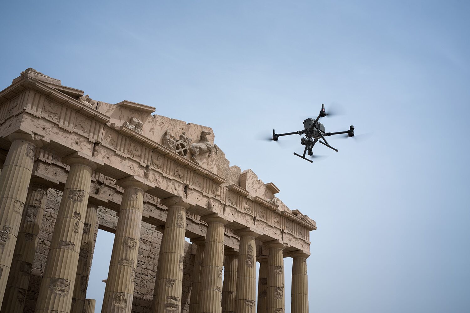
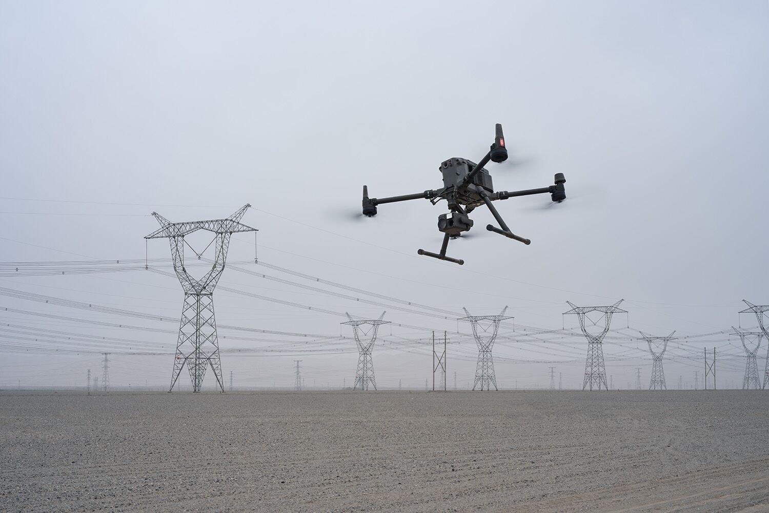
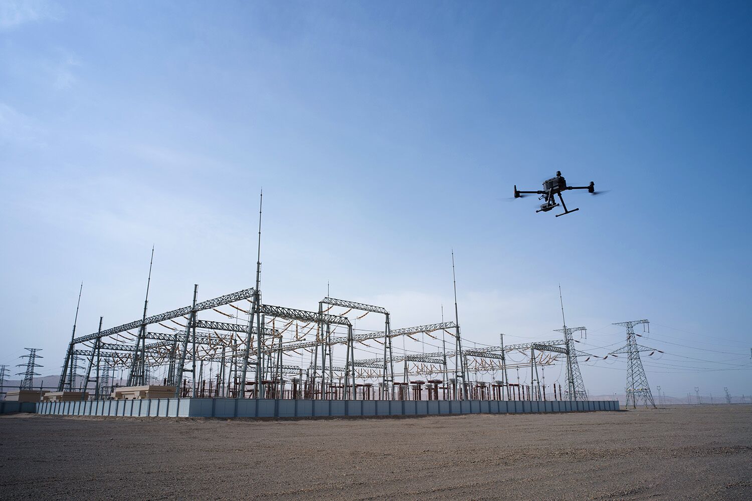
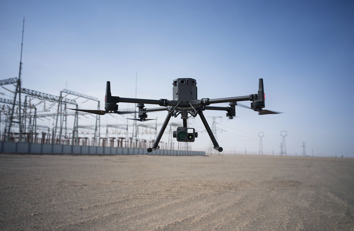
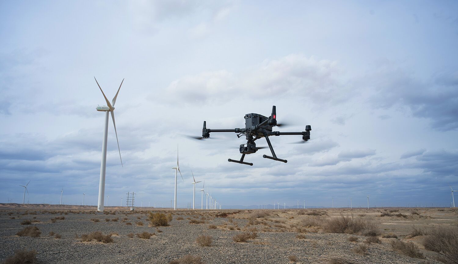
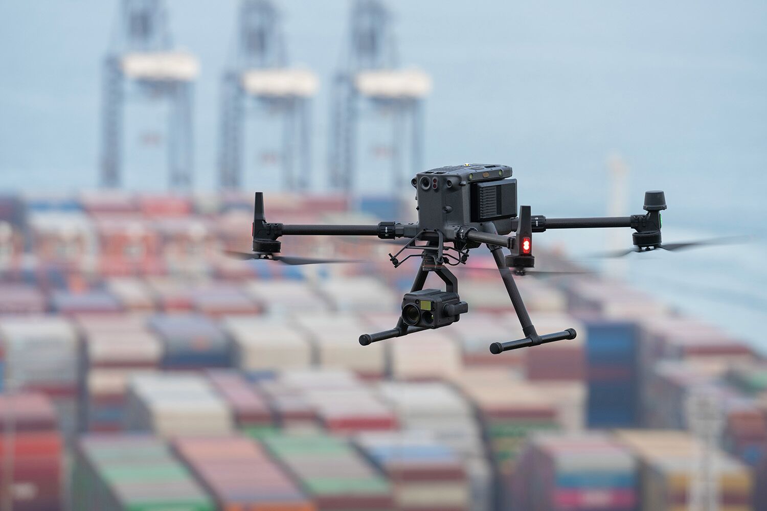
The Matrice 350 RTK, an updated flagship drone platform, raises the bar for the sector. This next-generation drone platform includes robust payload and expansion capabilities, an all-new video transmission system and control experience, an improved battery system, and more extensive safety features. It is totally capable of giving any aerial action newfound strength.
DJI M350 RTK Drone & UAV
Next-generate Flagship DJI drone platfrom
DJI M350 Specs
Dimensions (unfolded, without propellers)
Dimensions (folded, with propellers)
Diagonal Wheelbase
Weight (with single downward gimbal)
Without batteries:
Approx. 3.77 kg
With two TB65 batteries:
Approx. 6.47 kg
Single Gimbal Damper’s Max Payload
Max Takeoff Weight
Operating Frequency
2.4000-2.4835 GHz
5.150-5.250 GHz (CE: 5.170-5.250 GHz)
5.725-5.850 GHz
In some countries and regions, the 5.1GHz and 5.8GHz frequency bands are prohibited, or the 5.1GHz frequency band is only allowed for indoor use. Please refer to local laws and regulations for more information.
Transmitter Power (EIRP)
2.4000-2.4835 GHz:
< 33 dBm (FCC)
< 20 dBm (CE/SRRC/MIC)
5.150-5.250 GHz (CE: 5.170-5.250 GHz):
< 23 dBm (CE)
5.725-5.850 GHz:
< 33 dBm (FCC/SRRC)
< 14 dBm (CE)
Hovering Accuracy (with moderate or no wind)
Vertical:
±0.1 m (with vision positioning)
±0.5 m (with GNSS positioning)
±0.1 m (with RTK positioning)
Horizontal:
±0.3 m (with vision positioning)
±1.5 m (with GNSS positioning)
±0.1 m (with RTK positioning)
RTK Positioning Accuracy (RTK FIX)
1.5 cm + 1 ppm (vertical)
Max Angular Velocity
Yaw: 100°/s
Max Pitch Angle
When in N mode and with the forward vision system enabled: 25°.
Max Ascent Speed
Max Descent Speed (vertical)
Max Tilted Descent Speed
Max Horizontal Speed
Max Flight Altitude
5000 m
When using the 2110s propellers and with the takeoff weight ≤ 7.4 kg.
7000 m
When using the 2112 High-Altitude Low-Noise Propellers and with the takeoff weight ≤ 7.2 kg.
Max Wind Speed Resistance
Max Flight Time
Measured with Matrice 350 RTK flying at approximately 8 m/s without payloads in a windless environment until the battery level reached 0%. Data is for reference only. Actual usage time may vary depending on the flight mode, accessories, and environment. Please pay attention to reminders in the app.
Supported DJI Gimbals
Third-Party Payload
Supported Gimbal Configurations
Single upward gimbal
Dual downward gimbals
Single downward gimbal + single upward gimbal
Dual downward gimbals + single upward gimbal
Ingress Protection Rating
The IP rating is not permanently effective and may decrease due to product wear and tear.
Global Navigation Satellite System
Operating Temperature
Screen
Weight
Approx. 1.42 kg (with WB37 battery)
Global Navigation Satellite System
Built-in Battery
Charging Type: Use the battery station or USB-C fast charger with a max power of 65 W (max voltage of 20 V).
Charging Time: 2 hours
Chemical System: LiNiCoAlO2
External Battery (WB37 Intelligent Battery)
Voltage: 7.6 V
Type: Li-ion
Energy: 37.39 Wh
Chemical System: LiCoO2
Ingress Protection Rating
Operating Time
Built-in Battery + External Battery: approx. 6 hours
Operating Temperature
Operating Frequency
5.725-5.850 GHz
Transmitter Power (EIRP)
2.4000-2.4835 GHz:
< 33 dBm (FCC)
< 20 dBm (CE/SRRC/MIC)
5.725-5.850 GHz:
< 33 dBm (FCC)
< 14 dBm (CE)
< 23 dBm (SRRC)
Wi-Fi Protocol
Wi-Fi Operating Frequency
5.150-5.250 GHz
5.725-5.850 GHz
Bluetooth Protocol
Bluetooth Operating Frequency
Video Transmission System
Antenna
Max Transmission Distance (unobstructed, free of interference)
8 km (CE/SRRC/MIC)
Max Transmission Distance (with interference)
Low Interference and Obstructed by Trees: approx. 0.5-3 km
Strong Interference and Unobstructed: urban landscape, approx. 1.5-3 km
Medium Interference and Unobstructed: suburban landscape, approx. 3-9 km
Low Interference and Unobstructed: suburb/seaside, approx. 9-20 km
Measured with FCC compliance in unobstructed environments with typical interference at a flight altitude of approximately 120 m. Data is for reference only. The actual transmission distance may vary depending on the environment’s obstruction and interference conditions. Please pay attention to reminders in the app.
Vision System
Obstacle Sensing Range
Upward/Downward: 0.6-30 m
FOV
Left/Right/Upward: 75° (horizontal), 60° (vertical)
Operating Environment
Infrared Sensing System
Obstacle Sensing Range
FOV
Operating Environment
LED Auxiliary Light
Effective Illumination Distance
Illumination Type
FPV Camera
Resolution
FOV
Frame Rate
DJI M350 Battery And Charger Specs
Model
Capacity
Voltage
Type
Energy
Weight
Operating Temperature
Ideal Storage Temperature
Charging Temperature
When the ambient temperature is below 5° C (41° F), the battery will trigger the auto-heating function. Charging at low temperatures may reduce battery life. It is recommended to charge at 15° to 35° C (59° to 95° F).
Charging Time
With a 110V power supply, it takes approximately 70 minutes to fully charge two TB65 Intelligent Flight Batteries and approximately 40 minutes to charge them from 20% to 90%.
Dimensions
Net Weight
Compatible Stored Items
Four WB37 Intelligent Batteries
Input Voltage
220-240 VAC, 50-60 Hz
Max Input Power
Output Power
220-240 V: 992 W
Operating Temperature
DJI M350 vs DJI M300
Few upgrades have been made for DJI M350 RTK drone comparing to its precedecer M300 RTK.
DJI M350 Payloads
DJI Payloads
Warning: Attempt to read property "taxonomy" on bool in /home/mgwtrade/lidarsolutions.com.au/wp-content/plugins/elementor-pro/modules/woocommerce/classes/products-renderer.php on line 173
Third Party LiDAR Payload for M350
- drone lidar with premium INS
RESEPI-TELEDYNE CL-360HD – From Inertial Labs, Manufactured In USA
Request For QuoteRated 0 out of 5 - drone lidar with premium INS
RESEPI-LIVOX AVIA – From Inertial Labs, Manufactured In USA
Request For QuoteRated 0 out of 5 - drone lidar with premium INS
RESEPI-HESAI XT32M2X – From Inertial Labs, Manufactured In USA
Request For QuoteRated 0 out of 5 - drone lidar with premium INS
RESEPI-HESAI XT32 – From Inertial Labs, Manufactured In USA
Request For QuoteRated 0 out of 5 - Entry Level drone LiDAR
LiAir X3 + LiGeo Software and Camera – Global Shipping
Request For QuoteRated 0 out of 5 - Entry Level drone LiDAR
LiAir X3C-H Drone LiDAR Scanner – 32 Channel LiDAR Sensors
Request For QuoteRated 0 out of 5
Related products
- UAV LiDAR Payloads
LiAir H800 Drone LiDAR Scanner – Long Range
US$65,000.00 Excl. GST/VAT Add to basketRated 0 out of 5 - Entry Level drone LiDAR
LiAir X3C-H Drone LiDAR Scanner – 32 Channel LiDAR Sensors
Request For QuoteRated 0 out of 5 - drone lidar with premium INS
RESEPI-HESAI XT32M2X – From Inertial Labs, Manufactured In USA
Request For QuoteRated 0 out of 5 - drone lidar with premium INS
RESEPI-LIVOX AVIA – From Inertial Labs, Manufactured In USA
Request For QuoteRated 0 out of 5
