LiMobile – Vehicle Mounted LiDAR Scanner
Request For Quote
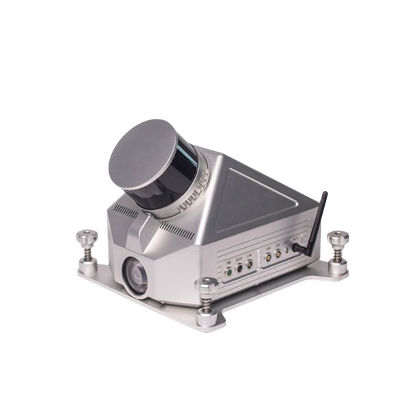
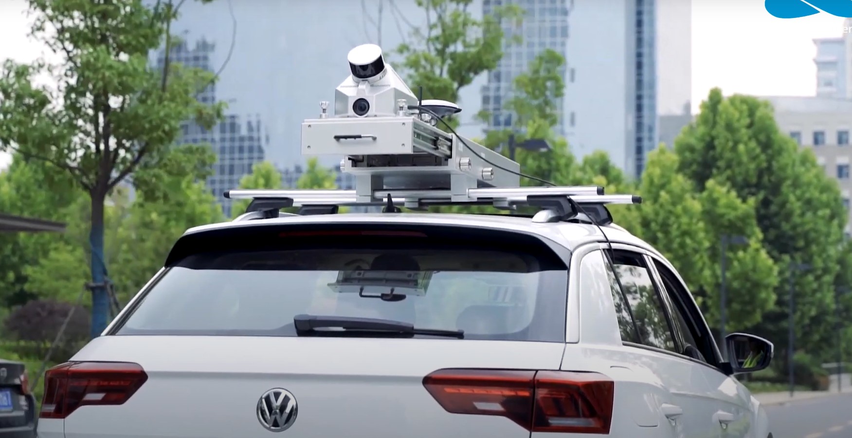
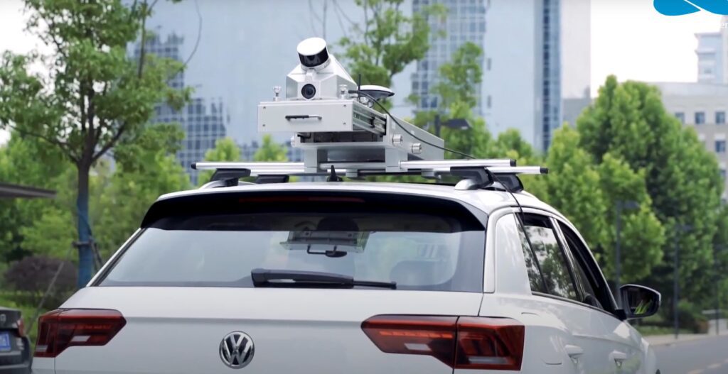
LiMobile Standard is one of the products in the GVI mobile LiDAR Scanner product line, which is designed to be mounted on SUVs at 45 degrees tilted angle. It can be used to acquire high-quality ground and terrain data on both sides of the road as it is equipped with a high-resolution camera. The integrated vehicle mounting system is highly adaptive to various SUV models. A variety of connection ports are reserved for optional modules, such as panoramic cameras, encoders, horizontal lasers, and many others in order to provide a complete mobile surveying solution.
Mobile LiDAR Scanners for Infrastructure Projects
A mobile LiDAR scanner provides high accuracy digital mapping for large infrastructure projects, while limiting traffic disruption and increasing safety. Compared to conventional surveying, it saves on time and costs. Its high speed allows it to survey large areas quickly and efficiently, avoiding delays and traffic snarls. It also requires less manpower than traditional surveying methods, reducing the potential for human error and ensuring the highest level of accuracy.
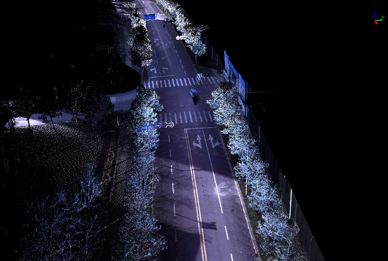
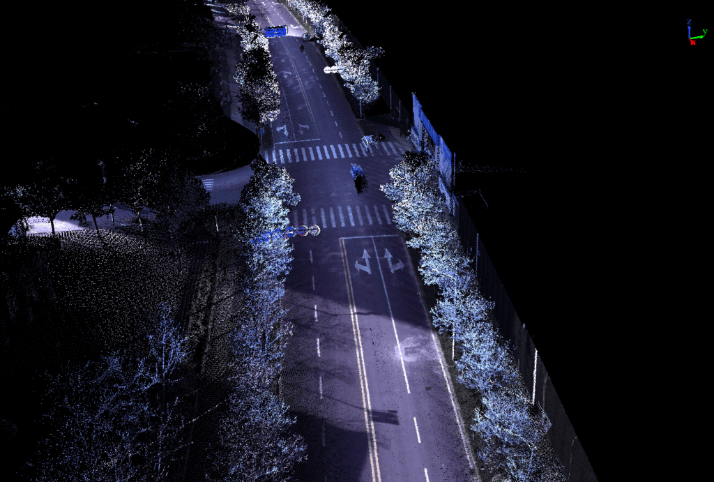
A Mobile LiDAR system incorporates high-resolution LiDAR sensors, spherical vision cameras, and Global Navigation Satellite Systems mounted on a moving platform. It is ideal for mapping linear infrastructure, and uses non-invasive survey methods to create high-resolution 3D point clouds that are usable for engineering design, feature extraction, and Digital Terrain Modelling. A Mobile LiDAR system can also be used to assess the condition of existing infrastructure.
The LiMobile mobile laser scanning system provides a highly robust vehicle mounted scanning solution. The scanner incorporates a Hesai 32 Channel laser scanners with a 360-degree field of view. It also has a GPS unit and high-accuracy IMU. It can be operated from a moving vehicle and can collect more than 50 points per square meter. It can travel at up to 100 km/h. LiMobile also fits your needs and be able to handle rugged environments. This technology also has built-in solid state data storage for long-term usage. Its battery power is enough for 6 hours of continuous scanning. It also features a built-in WIFI modem to allow real-time QA monitoring.
Key Features of LiMobile Mobile LiDAR Scanner
Modularization
A range of optional modules is available to fit customers’ specific needs in various of industries.
Integration
The all-new integrated vehicle mounting system, with pullout design. Highly adaptable to various SUV models.
Sensors
The ability to scan and acquire high-precision 3D point cloud data from vertical (-90° to 90°) and horizontal (360°) within the scanning range.
Lightweight Design
Robust aluminum housing and small PCB boards are adopted to reduce the interior space significantly to compact the size and weight of the system.
Power Supply
Powered by a battery compartment containing a maximum of six easy-carry batteries, it lasts all day without needing a recharge.
Control Method
The real-time running condition and the state of the system can be monitored through wireless and wired control.
LiMobile - Mobile LiDAR Scanner - Specifications
| System Specifications | |||
| Dimensions [1] (mm) | 265*270*230 mm | Battery | 5700mAh*6 |
| Weight [1] (Excl. Battery) | 4.7 kg | Battery Life | ~6 h / Battery |
| Storage Capacity | 512 GB SSD | Ports | HDMI, USB, Network |
| System Control and Data Display | Wireless Mode – Smartphone/Tablet Connect via WIFI, Simultaneous Control and Display | ||
| Wired Mode – Wire Connection between System and Tablet, Control and Data Transmission | |||
| Sensor Specifications | GNSS Specifications | ||
| Laser Sensor | XT32 | Satellite Tracking | GPS: L1 C/A, L1C, L2C, L2P, L5 GLONASS: L1 C/A, L2C, L2P, L3,L5 BeiDou: B1,B2 |
| Range Accuracy | ±3 cm | ||
| Verticle FOV | ’-16°~ 15° | ||
| Horizontal FOV | 0°~360° | ||
| Maximum Range | 120 m | Positioning Accuracy | 1 cm + 1 ppm |
| Camera Specification | Data Output | ||
| Camera | Panoramic Camera | Relative Accuracy | ≤3cm[2] |
| Resolution | 8.9 MP | Absolute Accuracy | ≤15cm[2] |
| Frame Rate | 6 | Point Cloud Data Format | las, laz, ply, LiData |
Demo Video
Downloads for LiMobile Mobile LiDAR Sensor
Brochure
User Manual
Sample Data
Required Software for LiMobile Mobile LiDAR Scanner
Pre-processing Software
Inertial Explorer-8.7
Date management, Post-processing and Analyzing Software
Request for Quote
Related products
-
GNSS Receiver
LiBase – GNSS RTK GPS Receiver for Both Rover & Base Station
US$2,916.00 Excl. GST/VAT Add to cartRated 0 out of 5 -
Handheld LiDAR Scanner
LiGrip H300 Handheld LiDAR Scanner + LiFuser Pre-processing Software
Request for Quote Read MoreRated 0 out of 5 -
Handheld LiDAR Scanner
LiGrip H120 Handheld LiDAR Scanner + LiFuser Pre-processing Software – Global Shipping
Request for Quote Read MoreRated 0 out of 5 -
Backpack LiDAR Scanner
OmniSLAM Handheld & Backpack LiDAR Scanner R8+ – Millimeter Accuracy
Request for Quote Read MoreRated 0 out of 5


