LiDAR Offshore Wind Monitoring Solutions for Australian Offshore Wind Farms
- Turn key local service in Australia
- Fully Classified by DNV-GL according to IEC61400-12-1 ed2
- Cost Effective - Under massive production
- Robust Design - IP67 protection
what is offshore wind liDAR?
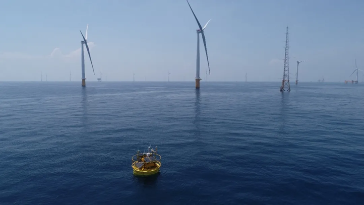
Offshore wind lidar (Light Detection and Ranging) is a remote sensing technology used to determine wind speed, direction, and other atmospheric variables (like temperature, humitity, and pressure) crucial to offshore wind farm operation. Lidar systems can accurately profile wind conditions across various altitudes by emitting laser beams into the atmosphere and analysing the reflected light, providing valuable data for optimising wind turbine performance, improving energy efficiency, and ensuring the safety and reliability of offshore wind operations. This technology is critical in the development, operation, and maintenance of offshore wind farms, assisting in the maximisation of energy production while lowering costs.
what can wind LiDARs do for offshore wind farm projects?
Offshore wind lidar plays a critical role in various phases of offshore wind farm projects, it is an essential tool for the successful development, deployment, and operation of offshore wind farms, contributing to more efficient, reliable, and cost-effective wind energy production.
Wind Farm Site Assessment:
- Lidar helps in evaluating the wind potential of a site by accurately measuring wind speed and direction at different heights.
- It assists in determining the optimal placement of wind turbines to maximize energy capture.
Design and Planning:
- Lidar data informs the design of wind turbines, ensuring they can withstand local wind conditions.
- It aids in the planning of wind farm layouts to minimize wake effects and optimize energy production.
Construction and Installation:
- Lidar can be used to monitor environmental conditions during construction to ensure safety.
- It helps in aligning and positioning wind turbines accurately during installation.
Operation and Maintenance:
- Real-time wind measurements from lidar enable precise control of turbine blades, optimizing performance.
- It facilitates predictive maintenance by identifying potential issues before they become critical, thus minimizing downtime.
Performance Monitoring and Optimization:
- Lidar provides data for performance analysis, helping to identify areas for improvement.
- It aids in the optimization of wind farm operations, ensuring maximum efficiency and energy production.
Our liDAR solutions for offshore wind farm and turbine monitoring
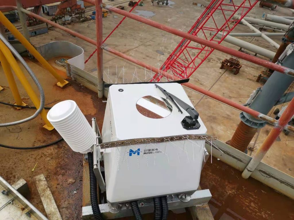
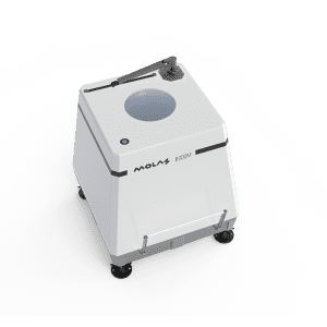
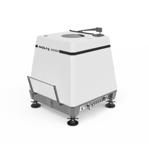
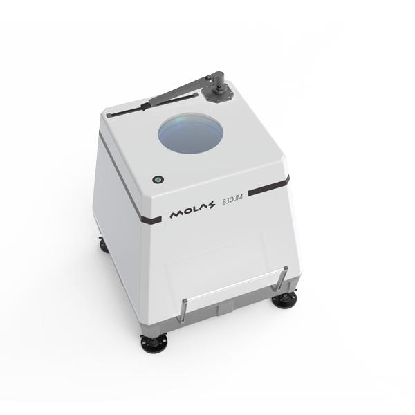
Vertical Profiler wind LiDAR - Molas B300M
How does vertical profiler wind LiDAR work?
The operational principle of vertical profile wind lidar involves the emission of laser beams into the atmosphere, followed by the measurement of the scattered light that is then detected by the sensor. The underlying principle of this technology is rooted in the Doppler effect, which entails a shift in the frequency of the reflected light that is directly proportional to the motion of atmospheric particles, such as dust or water droplets. Through the examination of these alterations in frequency, it becomes possible to ascertain the velocity and orientation of the wind at different elevations, thereby constructing a comprehensive vertical representation of the wind.
Specifications of Molas B300M
Measuring distance | 40-300m |
Measure the number of Heights | 12 (User Configurable) |
Sampling frequency | 1Hz |
Wind speed measurement accuracy | 0.1m/s |
Wind direction measurement accuracy | 1° |
Wind speed measurement range | 0~75m/s |
Wind direction measurement range | 0~360° |
General Parameters
Powered Supply | 24V DC,AC90~270V |
Power Consumption | 70W |
Dimensions | 682*520*641mm |
Weight | <75kg |
Range of working temperature | -40℃ ~ 50℃ |
Working humidity range | 0% to 100% |
Protection level | IP67 |
Anti-corrosion Grade | C5M, IEC60068-2-52-2017 |
Data Parameters
Data output | Horizontal wind speed, vertical wind speed, wind direction, time stamp, GPS, temperature and humidity pressure, statistical data |
Data Format | ASCII |
Communication | RJ45 Cable, 3G/4G,WiFi, and Satellite communication (optional) |
Download the Full specification of Molas B300M
Installation options of Molas B300M offshore wind LiDAR
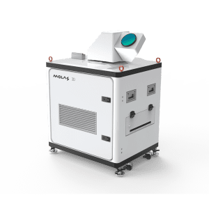
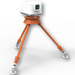
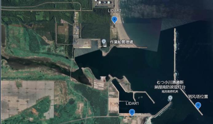
Molas 3D Dual Scanning LiDARs solution as Virtual Met-mast for offshore wind resource assessment
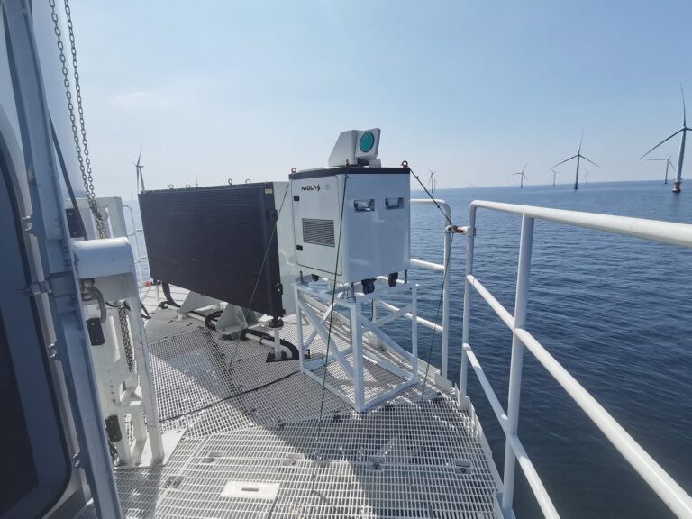
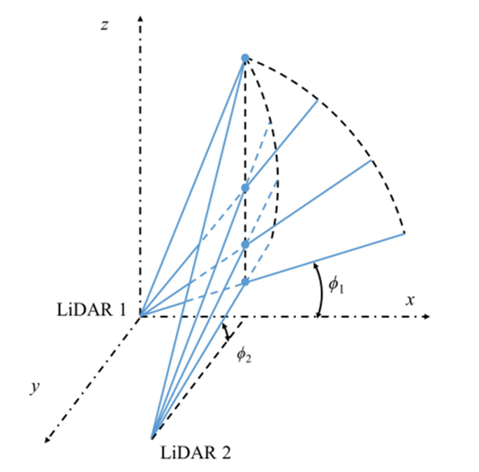
Dual-scanning lidars can serve as virtual met masts, delivering full wind observations that were previously only available from physical meteorological masts. This virtual technique is especially beneficial for offshore settings where constructing real masts might be difficult and expensive.
With dual LiDAR solutions, the uncertainty of wind resource assessment has been significantly reduced. Due the its long range of Molas 3D (10km typical), the deployment is much easier and more flexible to enable us to acquire reliable data without any physical access.
Synchronous control technology enables dual radar beams to point at the same position in three-dimensional space, enabling real-time calculation of horizontal wind speed and direction.
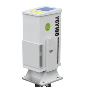
Nacelle-mounted Wind LiDAR for Turbine power performance testing and wind turbine control optimization
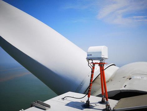
Nowadays, the nacelle mounted wind LiDAR is widely used for onshore and offshore wind projects, for power performance testing, wind turbine optimization, and load measurement and reduction, because of the following advantagnes:
Accurate and Real-Time Data:
- Nacelle Lidar provides accurate and real-time wind data directly at the turbine’s location, eliminating the need for extrapolating data from nearby met masts, which can be inaccurate due to varying local wind conditions.
Reduced Uncertainty:
- Traditional met masts may not fully capture the wind profile at the turbine’s hub height, especially in offshore environments where installing tall masts is challenging. Nacelle Lidar reduces this uncertainty by measuring the wind speed and direction at the specific height of the turbine.
Cost-Efficiency:
- Installing and maintaining physical met masts, especially offshore, can be expensive. Lidar is a cost-effective alternative that can provide similar or even more accurate data without the need for costly infrastructure.
Safety:
- Installing met masts in offshore environments can be risky due to harsh weather conditions. Lidar eliminates this safety concern as it can be installed directly on the turbine’s nacelle.


